Department Systems Analysis, Integrated Assessment and Modelling
GIS - Geographic Information System

A map tells more than a thousand words...
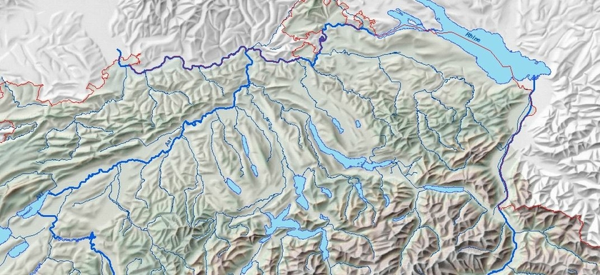
Research in the aquatic sector involves many different disciplines. Thus a geographic information system (GIS) provides an excellent framework for integrating data. It allows to manage, analyze, and visualize all forms of geographically referenced information. With a map you can give an overview or share your research results in a quickly understandable way. The analysis of the spatial data and patterns helps to find out relationships. Therefore with GIS the understanding between the research fields can be improved and new insights gained.
At Eawag our focus is on the application of GIS in the river network and catchments. GIS techniques are widely used in nearly every department, spatial results serve as input for models, simulation and statistical analysis.
GIS-Projects:
The GIS provides a large number of spatial attributes for the water network and for the entire catchment area. One focus is the integration of ecological and agricultural parameters (e.g. pesticide index) in order to determine their influence on the natural environment. Over the years, a comprehensive database has been built up for Switzerland's aquatic systems, which is used intensively by many research groups. This is used, for example, for ecological modeling to predict the composition of biotic communities in ecosystems, including in the context of future climate scenarios. www.eawag.ch/en/department/siam/projects/data-science-and-mechanistic-modelling/
CAMELS-CH (Catchment Attributes and MEteorology for Large-sample Studies - Switzerland) was created with the help of GIS. It comprises a hydro-meteorological data set for Switzerland, with static land use data and time series of over 40 years with a daily resolution for over 300 catchment areas. www.eawag.ch/en/department/siam/projects/camels-switzerland/
As part of the Blue Green Biodiversity Research Initiative - an Eawag-WSL collaboration, the project “Recent developments in the diversity, biomass and abundance of aquatic and terrestrial insects in Switzerland” analyzed multi-year surveys of terrestrial and aquatic insect data from the last 20 years. www.eawag.ch/en/department/siam/projects/analysing-recent-developments-in-abundance-biomass-and-species-richness-of-aquatic-and-terrestrial-insects/
With the help of mapped point data of the quagga mussel, geostatic methods were used to create distribution maps for various Swiss lakes. www.eawag.ch/en/info/portal/news/news-detail/gaining-time-in-the-fight-against-the-quagga-mussel/
Environmental characteristics related to water are combined with socio-economic parameters to valuing water resources in Switzerland with the help of GIS and spatial statistics. www.eawag.ch/en/department/ess/projects/creating-a-gis-based-water-services-value-map-for-switzerland/
The GIS is used to estimate pesticide inputs into surface waters. The spatial distribution of site factors from land use and runoff data is used to identify critical areas for diffuse inputs. www.eawag.ch/en/department/uchem/projects/aaretal-monitoring-of-pesticides-in-the-canton-of-bern/
GIS data served as the basis for fragmentation analyses for the remediation of artificial fish migration barriers. www.dora.lib4ri.ch/eawag/islandora/object/eawag%3A32675/
In low- and middle-income countries, we are working on various projects to improve wastewater disposal and water availability. In Kampala (Uganda), we analyzed the urban areas without sewage networks in order to define monitoring sites for population-representative monitoring. This will then be used to develop early warning systems for the public health system in order to contain the spread of infectious diseases. www.eawag.ch/en/department/sandec/projects/emoch-environmental-monitoring-of-community-health-in-urban-non-sewered-catchments/
We investigated the potential of GIS and satellite data in a master's thesis entitled “Indicator-based urban zoning using earth observation for wastewater management in Lusaka, Zambia”, a collaboration with the ZGIS University of Salzburg. geohum.eu/about/satellite-images-ai/
