News Detail
Climate history from a lake at almost 5000 metres above sea level
July 23, 2025 |
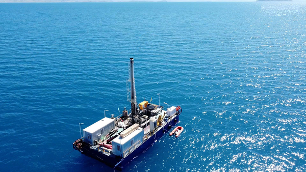
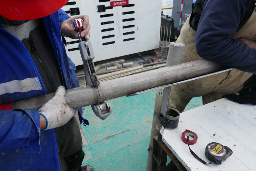
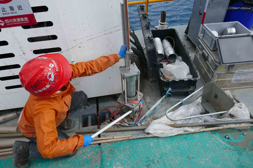
The water resources of the Tibetan plateau are crucial for almost a quarter of the world's population. The sediments of Lake Nam Co, a good 100 kilometres north of Lhasa, contain a treasure of information. They can explain how geology and climate have influenced the water cycle in the greater region and how this can be used to predict future changes. Until now, no data on this was available. In 2024, a large team set out as part of the ICDP (International Continental Scientific Drilling Program) to drill sediments at the bottom of China's second-largest salt lake, at 4,718 metres above sea level, and examine them scientifically. Around 1,300 metres of sediments from seven drilled cores are now in the cold storage rooms and laboratories of the participants.
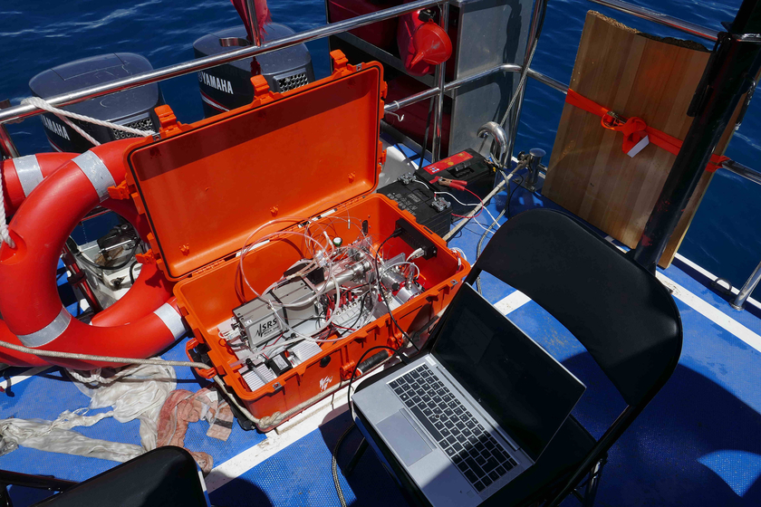
Eawag researchers were also involved in the expedition. Over the past few years, they have developed a method for determining the age of the deposits directly on site using noble gases trapped in the pore water. Specifically, they measure helium-4, which is produced by the decay of uranium and thorium. The usual radiocarbon dating method (C-14 method) does not work at this location because, on the one hand, there is hardly any organic material at this altitude and, on the other hand, the history of the lake goes back much further than the approximately 50,000 years that can be dated using the C-14 method. The actual age of the lake and the first deposits in the drilled cores is still unknown. Researchers estimate it to be several million years old. In addition to determining the age, Eawag is also supporting the scientific team in analysing how the lake physically "works" so that the signals from the sediments can be interpreted.
The following video from the ICDP, supplemented with explanations and images from Eawag researcher Prof. Rolf Kipfer, provides an insight into this fascinating project:
Cover picture: The ICDP drilling platform on Nam Co Lake at 4718 metres above sea level (Photo: ICDP).


