Department Environmental Social Sciences
Creating GIS value maps for water ecosystem services in Switzerland
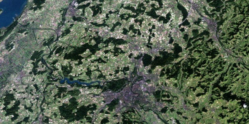
The main objective of this project is to show how economic values of different ecosystem services provided by water resources are spatially distributed across Switzerland. This will be done by applying a meta-analysis value transfer function based on a GIS map. The most relevant water ecosystem services in the case of Switzerland include hydropower production, recreation activities (bathing, fishing, boating, walking), irrigation, drinking water provision, and non-use ecological services. GIS maps will then be created, showing the geographical spread and the intensity of use for each ecosystem service that is provided by water resources, based on the available biophysical and spatial data. In the next step, a meta-analysis of valuation studies that estimate willingness to pay for different water ecosystem services will be combined with socio-economic data for Switzerland (e.g., GDP per capita, population density, distance from the nearest water resource). This will serve for constructing value transfer functions for each examined water ecosystem service. The value transfer functions will finally be integrated into ArcGIS. This will enable not only to estimate economic values associated with different water ecosystem services but also to present their spatial distribution across Switzerland.